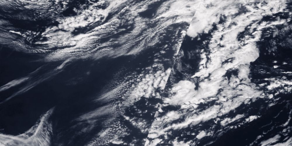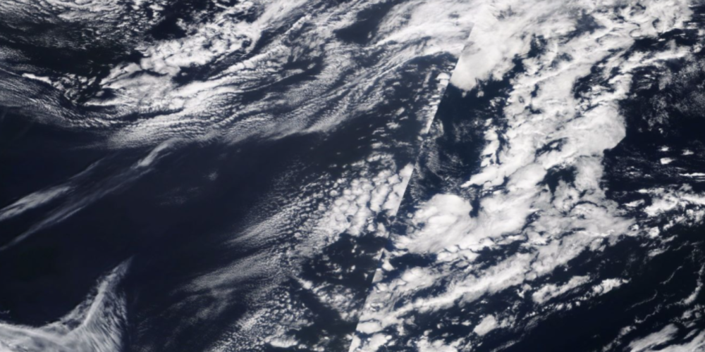
Before embarking on a scientific study related to particular phenomena, such as wildfires, scientists need to collect numerous examples of these phenomena. Locating these examples requires searching through 197 million square miles of satellite imagery each day across more than 20 years of data. Such an effort can produce a valuable trove of data, but the act of manually searching the data is cumbersome and laborious.
This project aims to empower scientists to search through vast amounts of satellite imagery given a single image, returning conceptually similar images, and then with a human-in-the-loop active labelling system, build a curated dataset.
Lack of labeled images, missing swaths of data within imagery, multiple phenomena observed in the same region, highly imbalance data with rare phenomena and inability of imagenet pre-trained models to find relevant samples makes the problem challenging scientifically.
Size of the data presents a scalability and cost effectiveness challenge.